
10 Reasons Why our encapsulated Passage Planners Forms will benefit your Passage, Port of Refuge & Pilotage Planning.
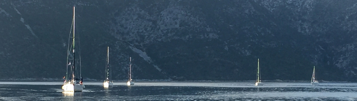
Yachts safely berthed at Spartahori, Meganisi, Greece (N38° 39.724' E20° 45.557').
1. Clearly designed A4 size forms published in English, French and German languages with sufficient space allowing the easy entry of the requested data relevant to your passage/pilotage plan. A good plan will contribute to the safety and enjoyment of your vogage for you and your crew.
2. Requests and guides the relevant input of information in a clear logical and consistent order including information to make a robust passage and pilotage plan.
3. Each professionally printed form integrates with the other forms in the same series, so no repetition of data entry.
4. Ensures that you always have the detailed information for your Passage/pilotage plan to hand.
5. Easily read and understood by all crew members, indicating skippers intentions, thus giving confidence throughout the passage/pilotage.
6. Plenty of room on the forms for sketches and additional passage information added by the user.
7. Matt finish of encapsulated forms makes for easy entry using a B grade pencil. Easily erased for data revision using standard pencil eraser
.
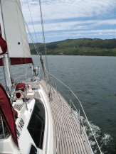
Sailing a 15.5 metre yacht in Knysna lagoon, Knysna, South Africa. The lagoon is very shallow in places. Good depth monitoring and pilotage is required at all times throughout the sailing. (S34° 3.794' E23° 2.731').
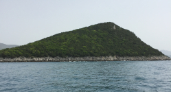
The Sivota Lighthouse (Sivota Mourtos) on the island of N. Sivota, Ionian Sea, Greece (N 39° 24.292', E 20° 12.600'). This lighthouse guards the areas bounded by the south of Corfu, the Greece mainland near Igoumenitsa and the island of North Paxos. Built in 1884, the altitude of the tower is 14 metres and the height of its focal plane is 87 metres above sea level. When on passage from Corfu Town to the port of Lakka on N.Paxos we navigate using the transit of 201° T in line with this lighthouse and the Lighthouse Cape Lakka situated close to the port of Lakka (N 39° 14.138', E 20° 7.682’). Note that T° is 201°. Chart variation V° in year 2024 is 5° E, Our compass deviation at the magnetic M° course of 196° is 3° E. Thus our compass course C° will be 193°. For further expaination see our Compass Course Excel App.
8. Details can be easily amended during passage/pilotage, if needs require. Allows additional en-route notes to be made.
9. Waterproof and tear proof.
10. Ideal for cockpit use during wet/heavy weather .
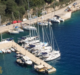
Additionally, we have forms for Tidal Stream calculations, Tide height details, Watchkeeping rotas, and Cockpit Cards for Mayday and Pan-Pan procedures and your boat's MMSI and Call Sign details. All forms are encapsulated within a matt laminated sleeve.
RYA Day Skipper, Yacht Master, Coastal Skipper and Ocean Master Courses
All of our Passage Planning forms are designed for and are suitable for the shore based navigation and practical parts of the above RYA courses and also for the other Navigation and Seamanship courses including online courses run by the RYA. They provide a detailed form for accurate navigation planning.
Postage Info. Q & A Privacy Policy Terms & Conditions of Sale
Contact us Join our Mailing List
![]()
Passage Planners is the brand name of www.passageplanning-sales.com
© 2016-2025 PassagePlanning-sales.com